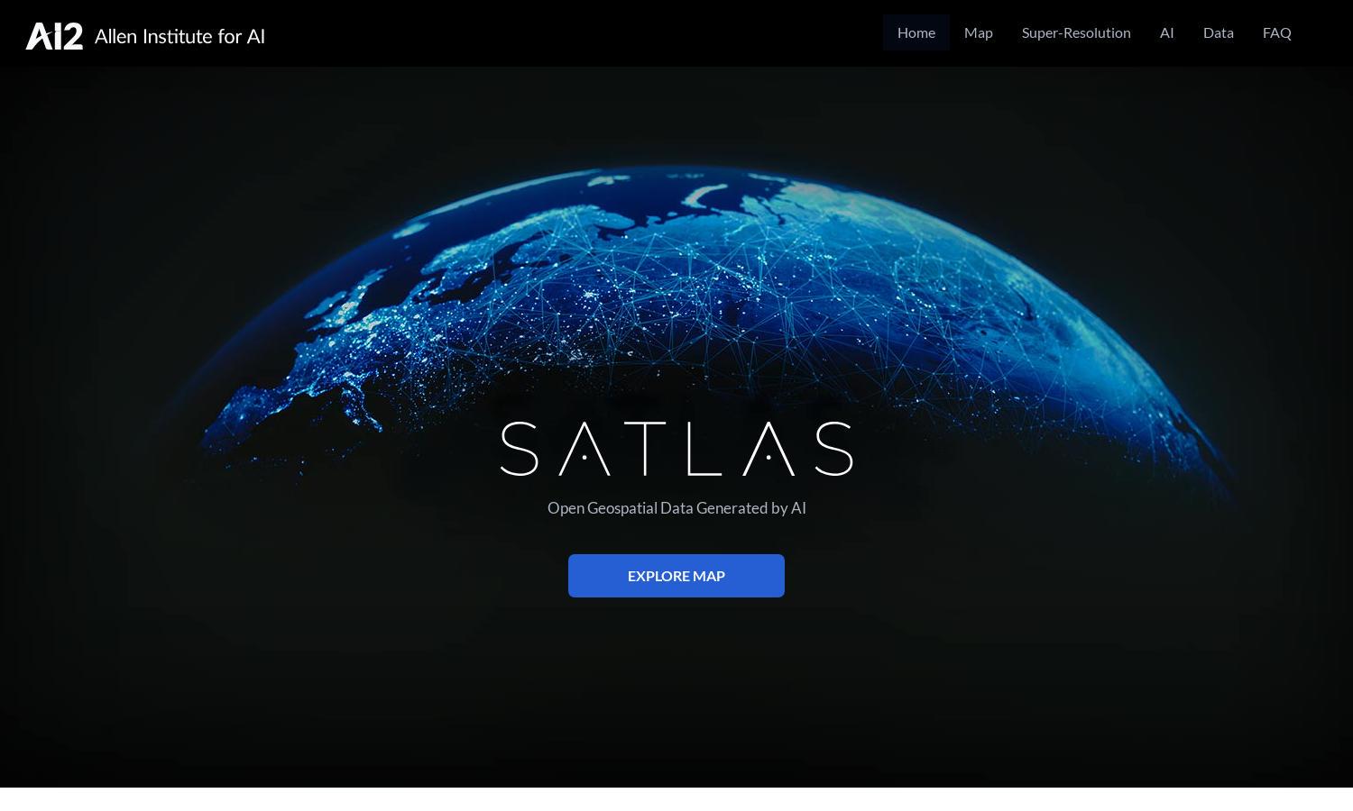
Satlas
About Satlas
Satlas is a cutting-edge platform designed for researchers, environmentalists, and policy makers to visualize how our planet is changing over time. Its unique feature includes AI-enhanced satellite imagery that allows for detailed analysis of environmental trends, thus aiding informed decision-making.
Satlas offers free access to its rich geospatial datasets, with options to download for offline use. Users can benefit from various subscription tiers that may provide additional features. Upgrading may offer enhanced data access and specialized tools, improving their analysis capabilities.
The user interface of Satlas is designed for seamless navigation, featuring intuitive layouts that allow for easy exploration of satellite imagery. The platform’s user-friendly design aids in quick access to features like AI-enhanced imagery and geospatial datasets, enriching the user experience.
How Satlas works
Users begin by creating an account on Satlas, enabling them to access a wealth of satellite imagery and geospatial data. They can navigate through interactive maps, exploring various features like AI annotation and super-resolution capabilities. The platform allows downloads for offline analysis, enhancing usability.
Key Features for Satlas
AI-Enhanced Imagery
Satlas's AI-Enhanced Imagery feature allows users to access high-resolution satellite images generated from low-quality sources. This innovative technology provides detailed views of global environmental changes, helping users to analyze data effectively and make informed decisions.
Geospatial Data Access
The Geospatial Data Access feature on Satlas empowers users to download comprehensive datasets for offline analysis. With freely available AI-generated data, researchers can dive deep into their studies, improving the quality of their work and fostering better environmental understanding.
Super-Resolution Technology
Satlas incorporates Super-Resolution Technology, which enhances low-resolution satellite images into high-definition visuals. This feature is crucial for detailed geographical analyses, enabling users to observe subtle changes in landmarks and infrastructure accurately.
You may also like: